


Changsha Travel Maps
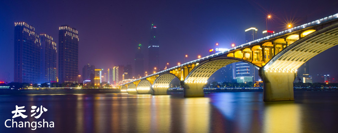
Changsha is known as "a city of Mountains and Waters." It is endowed with a picturesque landscape and charming natural environment. The Xiangjiang River flows through the city from south to north and the Liuyang River winds its way from east to west, forming islands within the city. It is a place of clean waters and tranquil mountains. Scenic spots in the area include the Yuelu Mountain scenic spots, Orange Island, the Yuelu Academy, the Huitang hot spring, and Dawei Mountain National Forest Park. The Han tombs of Mawangdui, the wooden and bamboo slips of the Three States Period, the Yuelu Academy, the Tianxin Tower, and the Autumn-Admiring Pavilion are some of the points of interest around town.
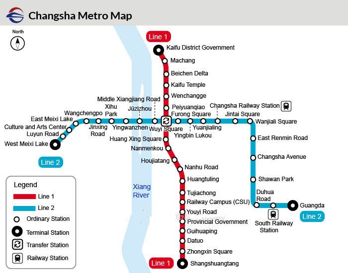
Changsha Metro Map
Changsha metro Line 1 and Line 2 are in service. The city is planned to have 12 metro lines, with a total length of about 456 kilometers (283 miles) and 333 stations. Among them, Line 4 shall serve the public at the end of 2018. Line 1 to Line 10 will run in the city area and the Line 11 and Line 12 are intercity lines. The first phase of Changsha metro line 3 are under construction and line 5 will open in 2020.
 Ask Questions ?